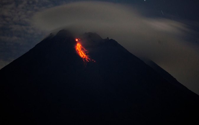
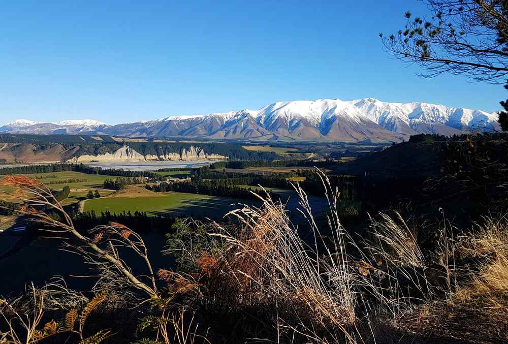
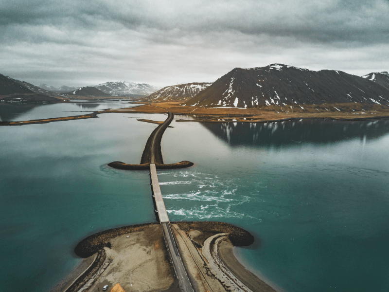
New Zealand, a land of breathtaking landscapes, is home to a fascinating array of active, dormant, and extinct volcanoes. These natural wonders have shaped the country's geography, culture, and history. Let's embark on a journey to explore some of the most iconic volcanoes in New Zealand.
Ruapehu
Mount Ruapehu, standing tall at an elevation of 2,797 meters (9,177 feet), is the largest active volcano in New Zealand. Located at coordinates 39°16′54.19″S 175°34′6.64″E in the central North Island, its last known eruption was in 2007.
This majestic mountain is not only a significant geological landmark but also a popular destination for skiing and snowboarding enthusiasts.
-compressed.jpg)
Tongariro
Mount Tongariro, with an elevation of 1,968 meters (6,456 feet), is another iconic volcano situated in the North Island at coordinates 39°8′S 175°39′E. Its last eruption was recorded in 2012.
Tongariro is renowned for its alpine crossing, a world-famous trek that offers breathtaking views of the Emerald Lakes, the Blue Lake, and other geological wonders.
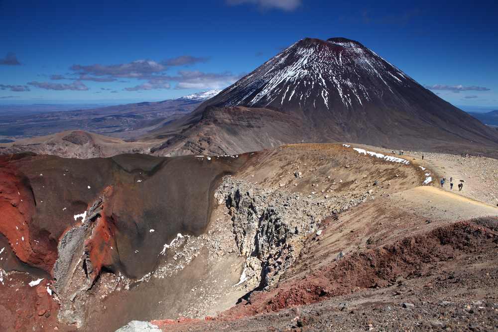
Ngauruhoe
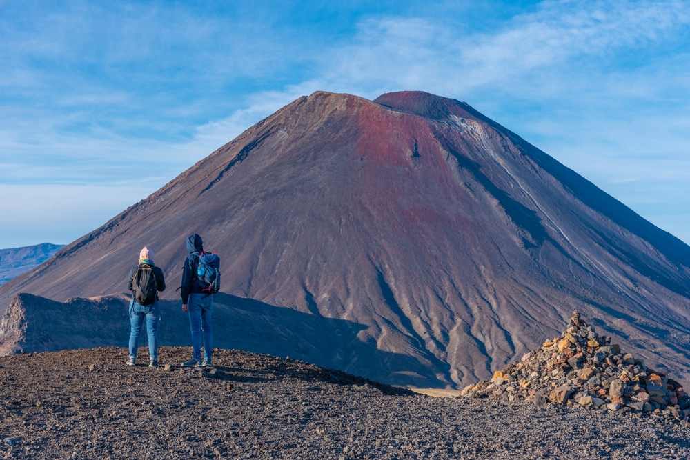
Often referred to as Mount Doom from the "Lord of the Rings" films, Mount Ngauruhoe is a cone-shaped volcano with an elevation of 2,291 meters (7,516 feet).
Located at coordinates 39°09′24.6″S 175°37′55.8″E, its last eruption was in 1977. Its near-perfect cone shape and association with popular culture make it one of the most recognized peaks in New Zealand.
White Island (Whakaari)
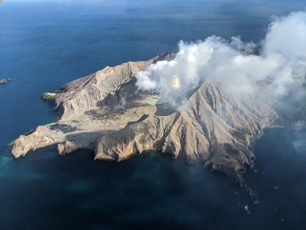
Whakaari, also known as White Island, is an active marine volcano situated off the Bay of Plenty coast. With an elevation of 321 meters (1,053 feet), it's located at coordinates 37.52°S 177.18°E.
The island is known for its constant volcanic activity, making it a sought-after destination for tourists looking to experience volcanic landscapes firsthand. Its most recent eruption was in 2019, reminding everyone of the dynamic nature of our planet.
Taupō Volcano
Located at coordinates 38.82°S 176.00°E, Taupō Volcano stands at an elevation of 760 meters (2,493 feet). Its last known eruption was in the year 181. Taupō Volcano is renowned for its massive caldera, which now forms Lake Taupō, the largest lake in New Zealand.
The caldera was created by a series of large eruptions, with the most recent major eruption, known as the Taupō eruption, occurring nearly 2,000 years ago. This eruption is considered one of the most violent in the world in the last 5,000 years.
Mount Taranaki (or Mount Egmont)
Mount Taranaki, also known as Mount Egmont, is a prominent peak located at coordinates 39.3°S 174.1°E. With an elevation of 2,518 meters (8,261 feet), it's one of the most symmetrical volcanic cones in the world.
The last eruption of Mount Taranaki took place in 1755. The mountain is an iconic landmark on the west coast of New Zealand's North Island and is surrounded by Egmont National Park, offering a range of hiking and climbing opportunities.

Ngawha
Ngawha is known for its geothermal activity rather than being a prominent volcanic peak like the others. Located in the Northland Region of New Zealand, Ngawha is famous for its hot springs, which have been used for therapeutic purposes by both Māori and European settlers for centuries.
The springs are rich in minerals and are believed to have healing properties. The geothermal activity in the area is a testament to the volcanic forces that have shaped much of New Zealand's landscape.
Mayor Island / Tūhua
Situated at coordinates 37°17′S 176°15′E, Mayor Island, also known as Tūhua, rises to an elevation of 338 meters (1,165 feet). Its last known eruption occurred in 4390 BC ± 200 years.
Mayor Island is an intriguing volcanic island located off the Bay of Plenty coast. Its rich history and unique geological features make it a point of interest for both geologists and tourists alike.
Raoul Island
Raoul Island, located at coordinates 29.16°S 177.55°W, stands at an elevation of 516 meters (1,693 feet). Its last eruption was recorded in 2006. As part of the Kermadec Islands, Raoul Island is the largest in the chain.
Its remote location and active volcanic nature make it a significant point of study for scientists monitoring volcanic activity in the region.
Macauley Island
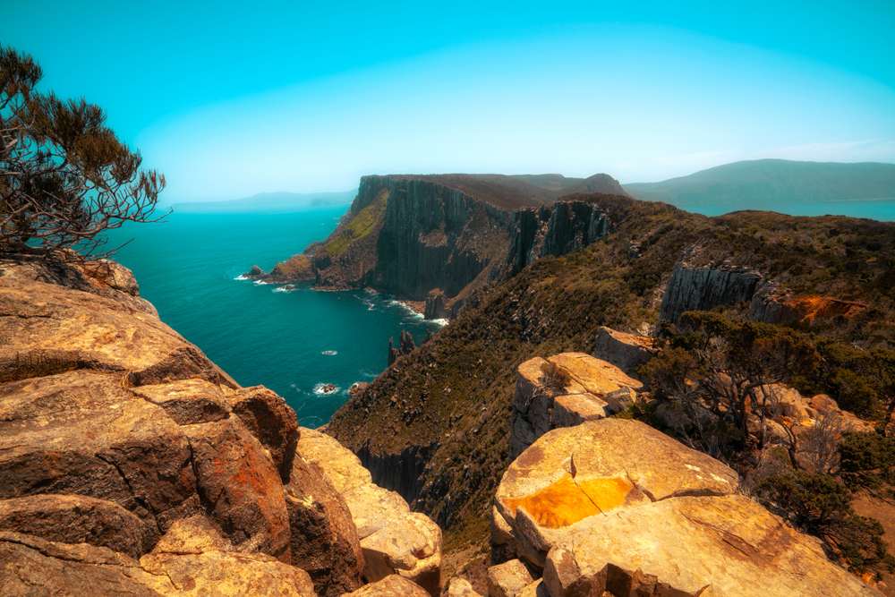
Macauley Island, with an elevation of 238 meters (781 feet), is located at coordinates 30.14°S 178.26°W. Its last known eruption occurred during the Holocene epoch. This island, part of the Kermadec group, is known for its unique flora and fauna, making it a hotspot for biodiversity studies.
Monowai Seamount
The Monowai Seamount, located at coordinates 25.887°S 177.188°W, is submerged and has an elevation of -100 meters (-330 feet) below sea level. Its last eruption was in 2008. As a seamount, Monowai is an underwater volcanic mountain, and its activity is closely monitored due to its potential impact on the surrounding marine environment.
In conclusion, New Zealand's volcanoes are a testament to the dynamic forces that shape our planet. From the towering peaks of Ruapehu and Taranaki to the underwater wonders of Monowai, these natural landmarks offer a unique blend of beauty, history, and adventure.
So, pack your bags, rent a campervan, and set out to explore the volcanic wonders of New Zealand. Discover the freedom of the open road with Campervan New Zealand. Safe travels!


 By
By


