By
By

Lindis Pass is one of New Zealand's most iconic driving routes. Whether you're planning an unforgettable road trip or simply seeking a picturesque drive, Lindis Pass offers travelers an immersive experience of New Zealand's remarkable natural beauty.
But before setting out on your journey with your camper rental in New Zealand, it's essential to know what makes this pass special, from its elevation and viewpoints to weather considerations and historical significance. In this guide, we'll explore everything you need to know for an enjoyable and safe adventure through Lindis Pass.
So, what exacly is "Lindis Pass"?
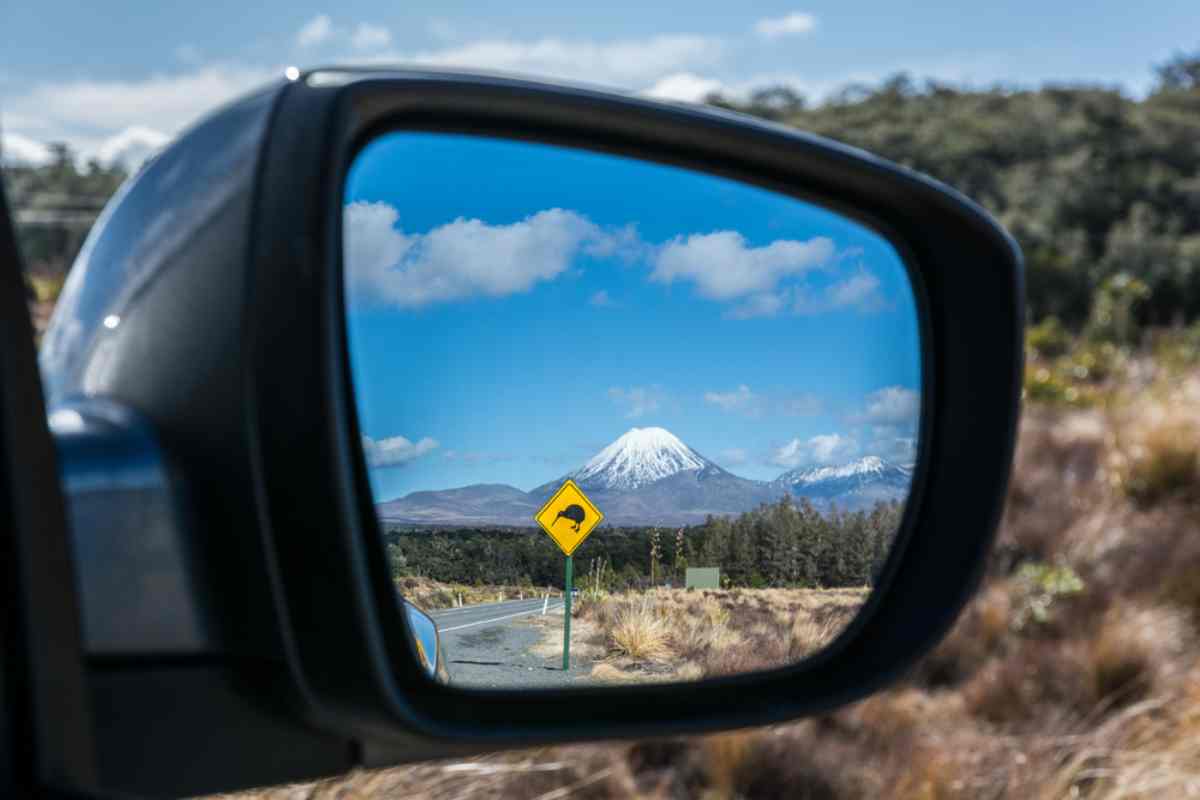
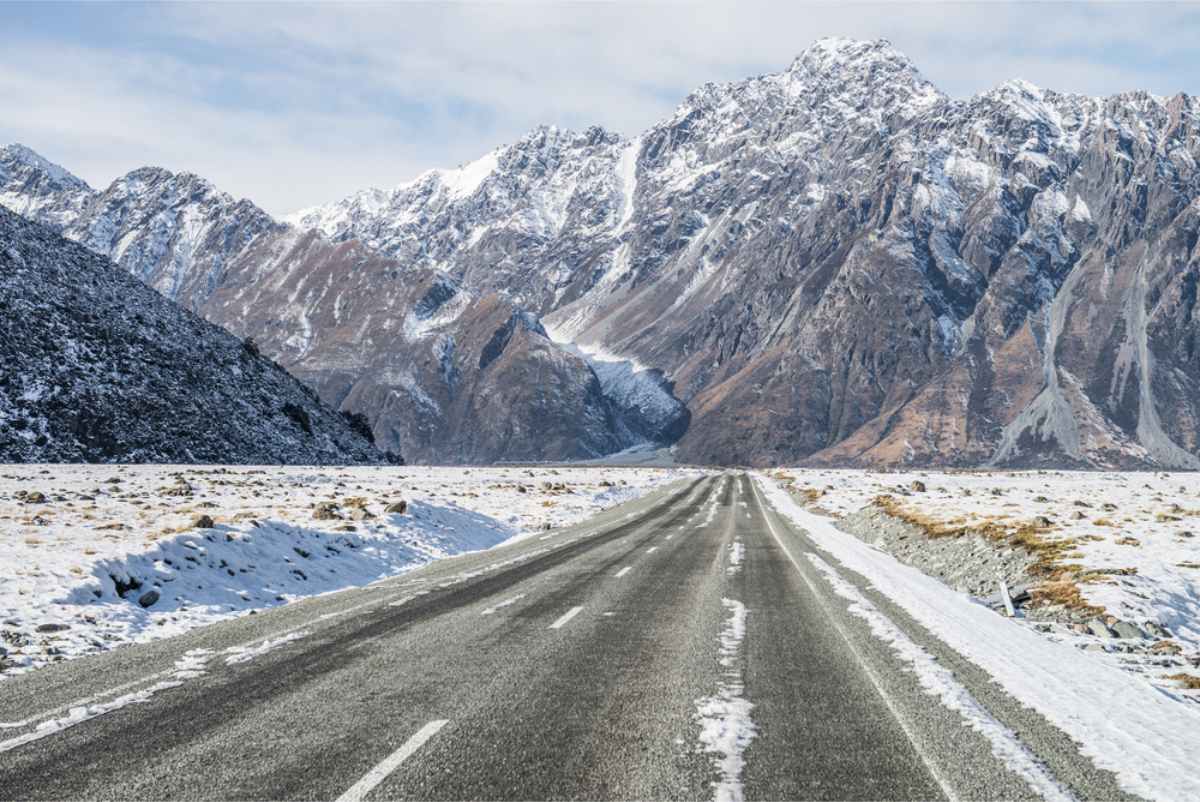
Lindis Pass is a stunning mountain pass in New Zealand's South Island, connecting the Mackenzie Basin with Central Otago. At an elevation of 971 meters (3,186 feet), it offers breathtaking views of tussock-covered landscapes and winding roads, making it a favorite among travelers.
Lindis Pass lies between the towns of Cromwell (78 km, 55 minutes drive) in Central Otago and Omarama (32 km, 21 minutes drive) in North Otago, on the main inland route to the Waitaki Basin in the Otago Region.
How High is Lindis Pass?
Lindis Pass reaches an elevation of 971 meters (3,186 feet) above sea level, making it one of the highest points on New Zealand's state highway network.
Lindis Pass Opening Hours
Lindis Pass can be affected by weather conditions, especially during winter months when snow and ice are common. It's essential to check the current status of the pass before planning your journey. For up-to-date information on road conditions and closures, visit the New Zealand Transport Agency's website.
| Season | Months | Opening Hours | Additional Information |
|---|---|---|---|
| Summer | December – February | Open 24 hours | Generally clear, occasional delays due to roadworks |
| Autumn | March – May | Open 24 hours | Typically open; watch for changing weather conditions |
| Winter | June – August | Weather dependent | Possible closures; snow chains recommended; check updates regularly |
| Spring | September – November | Open 24 hours, weather dependent | Occasional closures due to late snowfall or flooding; monitor road status |
Driving Tips for Lindis Pass
Driving through Lindis Pass offers spectacular scenery, but it’s essential to be well-prepared for this mountainous route. The road, while picturesque, can be challenging, especially for drivers unfamiliar with New Zealand’s alpine terrain. To ensure your journey through the pass is safe and enjoyable, consider the following tips and practical advice:
Check the Weather Beforehand
- Weather conditions can change quickly, especially during winter months (June to August), when snowfall and ice frequently affect road conditions.
- Always consult the NZ Transport Agency’s highway conditions before departure to see if Lindis Pass is open.
Prepare for Winter Conditions
- Snow chains are often necessaryfrom June to September. Even if they're not required at the start of your trip, conditions can rapidly change. Carry chains and ensure you know how to fit them.
- During icy conditions, reduce your speed significantly, and avoid sudden braking or sharp turns.
Watch Out for Road Hazards
- Lindis Pass is a winding, mountainous road with limited passing opportunities. Always keep to the left side of the road and use designated passing lanes to overtake safely.
- Watch for wildlife such as sheep and rabbits, as animals can unexpectedly wander onto the road.

Fuel Up Before the Journey
- Fuel stations are not available on Lindis Pass itself. Make sure your tank is full before setting off from Omarama or Cromwell, as there are no fuel stops in between.
Use Designated Viewpoints
- To safely enjoy and photograph the remarkable views, stop only at official lookout points. The Lindis Pass viewpoint offers panoramic vistas and is well worth a stop.
Stay Alert and Rest if Needed
- The pass demands full attention due to its curves and elevation changes. If you're feeling tired, take regular breaks in safe rest areas along the route.
- Stay hydrated and keep some snacks in the car, especially during long drives or colder months.
Be Courteous and Patient
- During peak travel seasons, Lindis Pass can become busy, causing slow traffic or occasional delays. Practice patience and respect other drivers. If you're driving slower than others, safely pull over when possible to allow them to pass.
Driving through Lindis Pass is a rewarding experience, combining breathtaking landscapes with the adventure of navigating one of New Zealand's iconic alpine routes. With these tips in mind, you'll be well-prepared for a safe and unforgettable journey!

The History of Lindis Pass
Lindis Pass is steeped in history, with roots tracing back to Māori exploration long before European settlers arrived. The area around Lindis Pass was traditionally used by Māori tribes as a natural route linking the inland regions of Otago and the Waitaki Basin. The pass provided these early travelers a safe passage through the otherwise rugged terrain, acting as a key trading and seasonal migration route between different iwi (tribes).
In the mid-19th century, European exploration and settlement began to reshape the region. It was Otago's chief surveyor, John Turnbull Thomson, who officially mapped the area in 1857. Thomson was responsible for naming the pass "Lindis," inspired by a river from his hometown region of Northumberland in England. This naming was not uncommon during this period, as many early settlers and surveyors often brought names from their homeland to give familiar identities to new territories.
The modern paved road that we know today was significantly developed in the 20th century, gradually improving from basic dirt trails into the well-maintained highway now serving both locals and international tourists. Regular upgrades have enhanced safety and accessibility, yet authorities have intentionally preserved the pass’s scenic beauty and historical integrity, maintaining its status as a heritage landscape and popular sightseeing destination.
What is the Māori Name for Lindis Pass?
The Māori name for Lindis Pass is "Ōkahu," meaning "place of Kahu."
Kahu is believed to refer to a significant ancestor, possibly linked to the Ngāi Tahu iwi (tribe) who historically traveled through the region. The pass itself, nestled between the Mackenzie Basin and Central Otago, was an important route for Māori navigating the South Island, whether for seasonal food gathering, trade, or exploration. Today, while Lindis Pass is well-known for its breathtaking landscapes and golden tussock-covered hills, its Māori name serves as a reminder of the rich cultural history woven into New Zealand’s land.

Exploring Lindis Pass with a Campervan
Exploring Lindis Pass and the surrounding regions is best experienced at your own pace. Consider renting a caravan to fully immerse yourself in the journey. For reliable and comfortable caravan rentals, visit Campervan New Zealand. Additionally, always stay informed about road conditions and potential closures by checking updates on New Zealand Road Closures before setting out.
Embark on an unforgettable adventure through Lindis Pass, where every turn reveals the natural beauty and rich history of New Zealand's South Island.